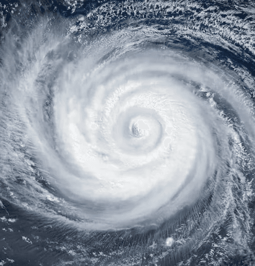
Forecasts from NOAA and Colorado State University indicate a well below-normal 2026 Atlantic hurricane season driven by a strengthening El Niño, which is expected to produce elevated vertical wind shear and suppress tropical cyclone formation through the peak months. As of late July, only two named storms have developed with season-to-date Accumulated Cyclone Energy at just 2.6—72% below the 1991-2020 average—while official outlooks project just 3-6 hurricanes for the entire June-November period. These conditions sharply reduce the likelihood of a hurricane reaching the U.S. coastline during August, the climatological start of peak activity, consistent with historical analogs of El Niño-influenced seasons featuring minimal early landfall risk. Updated model guidance and early August tropical weather outlooks from the National Hurricane Center will provide the next key data points for traders.
基於Polymarket數據的AI實驗性摘要。這不是交易建議,也不影響該市場的結算方式。 · 更新於颶風會在8月登陸美國嗎?
颶風會在8月登陸美國嗎?
是
是
A hurricane is a tropical cyclone with maximum sustained winds of 74 mph or greater (Category 1 or higher on the Saffir-Simpson Hurricane Wind Scale), as described at https://www.nhc.noaa.gov/aboutsshws.php, and a hurricane landfall is said to occur when the hurricane's surface center intersects with the coastline, as described at https://www.nhc.noaa.gov/aboutgloss.shtml#LANDFALL. A storm must hold hurricane strength (Category 1 or higher on the Saffir-Simpson scale) at the moment its surface center intersects the coastline for that landfall to qualify.
This market may resolve based on the initial NHC advisory reporting a qualifying landfall regardless of any later advisory, retraction, best-track revision, or reanalysis that revises that storm's intensity downward at the time of landfall. However, if a subsequent advisory or correction identifies a qualifying landfall that was not reflected in initial reporting, that landfall will be added.
市場開放時間: Jul 30, 2026, 2:36 PM ET
Resolver
0x65070BE91...A hurricane is a tropical cyclone with maximum sustained winds of 74 mph or greater (Category 1 or higher on the Saffir-Simpson Hurricane Wind Scale), as described at https://www.nhc.noaa.gov/aboutsshws.php, and a hurricane landfall is said to occur when the hurricane's surface center intersects with the coastline, as described at https://www.nhc.noaa.gov/aboutgloss.shtml#LANDFALL. A storm must hold hurricane strength (Category 1 or higher on the Saffir-Simpson scale) at the moment its surface center intersects the coastline for that landfall to qualify.
This market may resolve based on the initial NHC advisory reporting a qualifying landfall regardless of any later advisory, retraction, best-track revision, or reanalysis that revises that storm's intensity downward at the time of landfall. However, if a subsequent advisory or correction identifies a qualifying landfall that was not reflected in initial reporting, that landfall will be added.
Resolver
0x65070BE91...Forecasts from NOAA and Colorado State University indicate a well below-normal 2026 Atlantic hurricane season driven by a strengthening El Niño, which is expected to produce elevated vertical wind shear and suppress tropical cyclone formation through the peak months. As of late July, only two named storms have developed with season-to-date Accumulated Cyclone Energy at just 2.6—72% below the 1991-2020 average—while official outlooks project just 3-6 hurricanes for the entire June-November period. These conditions sharply reduce the likelihood of a hurricane reaching the U.S. coastline during August, the climatological start of peak activity, consistent with historical analogs of El Niño-influenced seasons featuring minimal early landfall risk. Updated model guidance and early August tropical weather outlooks from the National Hurricane Center will provide the next key data points for traders.
基於Polymarket數據的AI實驗性摘要。這不是交易建議,也不影響該市場的結算方式。 · 更新於

警惕外部連結哦。
警惕外部連結哦。
Frequently Asked Questions