
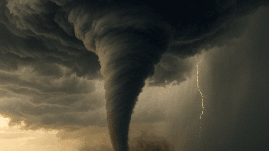
The Storm Prediction Center's latest Day 1 outlook places only a marginal severe thunderstorm risk across the upper Ohio Valley into the Northeast and parts of the central/northern High Plains through tonight, driven by a cold front generating linear forcing and clusters capable of isolated damaging winds. Deep-layer shear supports possible transient supercells early, yet poor mid-level lapse rates and limited instability keep tornado probabilities very low, with no dedicated tornado risk areas delineated. Forecasters note convection should weaken eastward this evening as nocturnal cooling sets in. Traders should monitor the next SPC updates and any mesoscale discussions for shifts in the frontal position or instability trends, as even small changes in boundary-layer moisture could alter isolated severe potential before the period ends at 12Z tomorrow.
Experimentelle KI-generierte Zusammenfassung mit Polymarket-Daten. Dies ist keine Handelsberatung und spielt keine Rolle bei der Auflösung dieses Marktes. · AktualisiertWelche Städte sind am 13. September einem Tornado-Risiko ausgesetzt?
Welche Städte sind am 13. September einem Tornado-Risiko ausgesetzt?
Chicago, IL
50%
Houston, TX
4%
San Antonio, TX
3%
Dallas, TX
3%
Austin, TX
50%
Fort Worth, TX
3%
Columbus, OH
26%
Charlotte, NC
50%
Indianapolis, IN
4%
Denver, CO
50%
Nashville, TN
50%
Oklahoma City, OK
50%
Memphis, TN
4%
Louisville, KY
4%
Atlanta, GA
50%
Kansas City, MO
4%
Omaha, NE
4%
Minneapolis, MN
26%
Wichita, KS
26%
New Orleans, LA
25%
Tampa, FL
27%
St. Louis, MO
25%
Birmingham, AL
4%
Des Moines, IA
26%
Little Rock, AR
4%
$263 Vol.
Chicago, IL
50%
Houston, TX
4%
San Antonio, TX
3%
Dallas, TX
3%
Austin, TX
50%
Fort Worth, TX
3%
Columbus, OH
26%
Charlotte, NC
50%
Indianapolis, IN
4%
Denver, CO
50%
Nashville, TN
50%
Oklahoma City, OK
50%
Memphis, TN
4%
Louisville, KY
4%
Atlanta, GA
50%
Kansas City, MO
4%
Omaha, NE
4%
Minneapolis, MN
26%
Wichita, KS
26%
New Orleans, LA
25%
Tampa, FL
27%
St. Louis, MO
25%
Birmingham, AL
4%
Des Moines, IA
26%
Little Rock, AR
4%
The SPC Day 1 Convective Outlook assigns tornado probability percentages (2%, 5%, 10%, etc.) to geographic areas across the US. If the city's coordinates fall inside any area rated 2% or higher, that city resolves "Yes". If a city is outside all tornado probability areas, or only within areas rated below 2%, that city resolves "No".
The SPC outlook is published as machine-readable geographic data (GeoJSON) at spc.noaa.gov. Each city's coordinates and the polygon boundaries are publicly verifiable. Borderline cases can be independently confirmed using the polygon data (excluding the hatched SIGN overlay, which is not a probability rating) and the city's listed coordinates. The point-in-polygon test is performed on unprojected WGS84 (EPSG:4326) coordinates, which is the native coordinate system of the SPC GeoJSON data.
Resolution is based on the scheduled 01:00 UTC Day 1 Convective Outlook update issued on the following UTC calendar day. The SPC Day 1 outlook covers a 24-hour period from 12:00 UTC to 12:00 UTC the following day. Subsequent revisions published after that scheduled update will not be considered. If the SPC Day 1 Convective Outlook has not been published by the time the market closes, this market will resolve to "No".
The resolution source for this market is the NOAA Storm Prediction Center at spc.noaa.gov.
This market uses coordinates 41.8781, -87.6298 for Chicago, IL.
Markt eröffnet: Sep 13, 2026, 8:13 AM ET
Abwicklungsquelle
https://www.spc.noaa.gov/products/outlook/day1otlk.htmlAbwickler
0x65070BE91...The SPC Day 1 Convective Outlook assigns tornado probability percentages (2%, 5%, 10%, etc.) to geographic areas across the US. If the city's coordinates fall inside any area rated 2% or higher, that city resolves "Yes". If a city is outside all tornado probability areas, or only within areas rated below 2%, that city resolves "No".
The SPC outlook is published as machine-readable geographic data (GeoJSON) at spc.noaa.gov. Each city's coordinates and the polygon boundaries are publicly verifiable. Borderline cases can be independently confirmed using the polygon data (excluding the hatched SIGN overlay, which is not a probability rating) and the city's listed coordinates. The point-in-polygon test is performed on unprojected WGS84 (EPSG:4326) coordinates, which is the native coordinate system of the SPC GeoJSON data.
Resolution is based on the scheduled 01:00 UTC Day 1 Convective Outlook update issued on the following UTC calendar day. The SPC Day 1 outlook covers a 24-hour period from 12:00 UTC to 12:00 UTC the following day. Subsequent revisions published after that scheduled update will not be considered. If the SPC Day 1 Convective Outlook has not been published by the time the market closes, this market will resolve to "No".
The resolution source for this market is the NOAA Storm Prediction Center at spc.noaa.gov.
This market uses coordinates 41.8781, -87.6298 for Chicago, IL.
Abwicklungsquelle
https://www.spc.noaa.gov/products/outlook/day1otlk.htmlAbwickler
0x65070BE91...The Storm Prediction Center's latest Day 1 outlook places only a marginal severe thunderstorm risk across the upper Ohio Valley into the Northeast and parts of the central/northern High Plains through tonight, driven by a cold front generating linear forcing and clusters capable of isolated damaging winds. Deep-layer shear supports possible transient supercells early, yet poor mid-level lapse rates and limited instability keep tornado probabilities very low, with no dedicated tornado risk areas delineated. Forecasters note convection should weaken eastward this evening as nocturnal cooling sets in. Traders should monitor the next SPC updates and any mesoscale discussions for shifts in the frontal position or instability trends, as even small changes in boundary-layer moisture could alter isolated severe potential before the period ends at 12Z tomorrow.
Experimentelle KI-generierte Zusammenfassung mit Polymarket-Daten. Dies ist keine Handelsberatung und spielt keine Rolle bei der Auflösung dieses Marktes. · Aktualisiert
Vorsicht bei externen Links.
Vorsicht bei externen Links.
Häufig gestellte Fragen