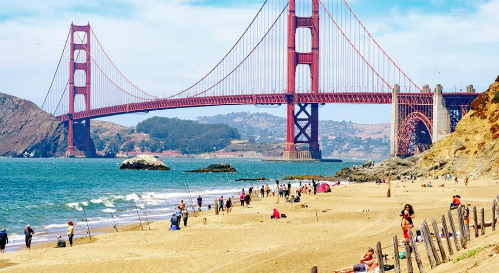
Persistent marine layer and moderate onshore flow from the Pacific are capping daytime heating in San Francisco, keeping official forecast highs centered on 69–71°F for August 12. National Weather Service guidance and ensemble runs highlight stratus and sea-breeze effects that delay warming until afternoon, aligning closely with the long-term August average near 70°F. These conditions explain why 70–71°F holds the strongest market-implied odds at 43 percent, followed by adjacent 68–69°F and 72–73°F bins, while warmer outcomes remain low-probability absent a notable weakening of the marine push. Traders are weighting the narrow spread between these bins against subtle variations in 925 mb temperatures and coastal wind strength expected in the final model updates before resolution.
Riepilogo sperimentale generato dall'AI con riferimento ai dati di Polymarket. Questo non è un consiglio di trading e non ha alcun ruolo nella risoluzione di questo mercato. · AggiornatoLa temperatura più alta a San Francisco il 12 agosto?
La temperatura più alta a San Francisco il 12 agosto?
70-71°F 44%
68-69°F 27%
72-73°F 21%
66-67°F 6%
$17,219 Vol.
$17,219 Vol.
63°F o inferiore
1%
64-65°F
1%
66-67°F
6%
68-69°F
27%
70-71°F
44%
72-73°F
21%
74-75°F
3%
76-77°F
<1%
78-79°F
<1%
80-81°F
<1%
82°F o superiore
<1%
70-71°F 44%
68-69°F 27%
72-73°F 21%
66-67°F 6%
$17,219 Vol.
$17,219 Vol.
63°F o inferiore
1%
64-65°F
1%
66-67°F
6%
68-69°F
27%
70-71°F
44%
72-73°F
21%
74-75°F
3%
76-77°F
<1%
78-79°F
<1%
80-81°F
<1%
82°F o superiore
<1%
This market will resolve to the temperature range that contains the highest temperature recorded at the San Francisco International Airport Station in degrees Fahrenheit on 12 Aug '26.
The resolution source for this market will be information from Wunderground, specifically the highest temperature recorded for all times on this day for the San Francisco International Airport Station, available here: https://www.wunderground.com/history/daily/us/ca/san-francisco/KSFO.
To toggle between Fahrenheit and Celsius, click the gear icon next to the search bar and switch the Temperature setting between °F and °C.
This market can not resolve until the first data point for the following date has been published on the resolution source.
The resolution source for this market measures temperatures to whole degrees Fahrenheit (eg, 21°F). Thus, this is the level of precision that will be used when resolving the market.
Revisions to temperatures recorded within this market's timeframe will be considered until the first datapoint for the following date has been published, after which any alterations will not be considered.
Mercato aperto: Aug 10, 2026, 9:03 PM ET
Fonte di risoluzione
https://www.wunderground.com/history/daily/us/ca/san-francisco/KSFOResolver
0x69c47De9D...This market will resolve to the temperature range that contains the highest temperature recorded at the San Francisco International Airport Station in degrees Fahrenheit on 12 Aug '26.
The resolution source for this market will be information from Wunderground, specifically the highest temperature recorded for all times on this day for the San Francisco International Airport Station, available here: https://www.wunderground.com/history/daily/us/ca/san-francisco/KSFO.
To toggle between Fahrenheit and Celsius, click the gear icon next to the search bar and switch the Temperature setting between °F and °C.
This market can not resolve until the first data point for the following date has been published on the resolution source.
The resolution source for this market measures temperatures to whole degrees Fahrenheit (eg, 21°F). Thus, this is the level of precision that will be used when resolving the market.
Revisions to temperatures recorded within this market's timeframe will be considered until the first datapoint for the following date has been published, after which any alterations will not be considered.
Fonte di risoluzione
https://www.wunderground.com/history/daily/us/ca/san-francisco/KSFOResolver
0x69c47De9D...Persistent marine layer and moderate onshore flow from the Pacific are capping daytime heating in San Francisco, keeping official forecast highs centered on 69–71°F for August 12. National Weather Service guidance and ensemble runs highlight stratus and sea-breeze effects that delay warming until afternoon, aligning closely with the long-term August average near 70°F. These conditions explain why 70–71°F holds the strongest market-implied odds at 43 percent, followed by adjacent 68–69°F and 72–73°F bins, while warmer outcomes remain low-probability absent a notable weakening of the marine push. Traders are weighting the narrow spread between these bins against subtle variations in 925 mb temperatures and coastal wind strength expected in the final model updates before resolution.
Riepilogo sperimentale generato dall'AI con riferimento ai dati di Polymarket. Questo non è un consiglio di trading e non ha alcun ruolo nella risoluzione di questo mercato. · Aggiornato
Fai attenzione ai link esterni.
Fai attenzione ai link esterni.
Domande frequenti